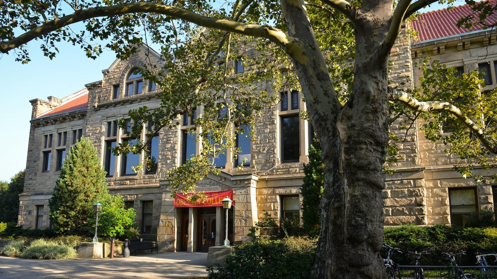
Geosciences
Explore Earth and the environment, build a better future.
Geoscientists are storytellers and problem-solvers
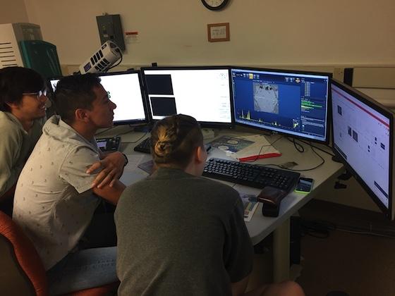
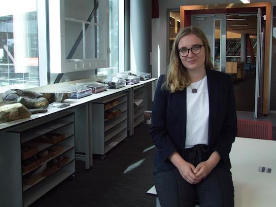
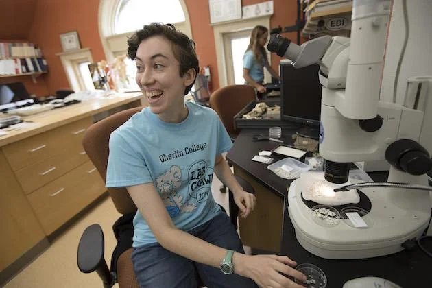
Earth Science in the Laboratory
From geochemical laboratories to computational modelling, Oberlin’s geoscience students work with faculty in the lab to better understand the environment and our planet.
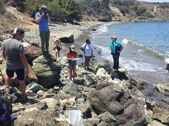
Earth Science in Nature
Student research also takes place at numerous field sites as part of faculty research projects, study abroad programs, and field camps
Undergraduate Research
Lake core sediments can offer an exciting glimpse into the climate and events of the past.
Featured Courses
Earth’s Environments
A survey of Earth’s internal and external features, emphasizing the unifying theory of plate tectonics as well as the study of geologic hazards and Earth resources. Labs and field trips explore Earth materials, local field sites, landforms, and interactions between humans and Earth’s surface. The course is intended for both non-majors and prospective geology majors. All students must enroll in the lecture section plus one lab section in the same semester.
- Taught by
- Rachel Eveleth, Amanda Schmidt
The Anthropocene: Human Actions, Global Consequences
Have human activities changed our planet enough that we now live in a new geologic Epoch: the Anthropocene? In this seminar, we will place our impact on the planet in the context of its history through readings and discussion on topics including: deep geologic time, geochemical signals of natural and human activity, the nature of scientific thinking and discourse, and our place in our planet’s history.
- Taught by
- F. Zeb Page
Oceans and Climate
We live on the Blue Planet. This course will examine ocean and climate dynamics central to the functioning of the Earth system. Using publicly available data, scientific literature and historical accounts, students will investigate both natural processes over geologic time and human interaction with the planet during the Anthropocene. Topics include feedback cycles, ocean and atmosphere circulation, sea water chemistry, heat and carbon fluxes, sea level rise, polar dynamics, and climate change. Labs will focus on data analysis and provide an introduction to coding in Python.
- Taught by
- Rachel Eveleth
Interdisciplinary GIS & Cartography
Geographical Information Systems are used to analyze spatial data, tackling real-world problems through the lens of mapping. The class will use GIS software and hands-on activities to explore social injustices in urban planning, environmental hazards and disasters, problems related to climate change and renewable energy, and more. Students will use data visualization principles to communicate to a variety of audiences. This course is accessible to students from a variety of academic backgrounds and experience levels. No prior experience with GIS, geosciences or computer science is needed.
- Taught by
- Clara Margaret Flood ’18
Student Profiles
Nexial Prize Recipient
Monica Dix ’20, a geology and politics double major, was awarded the 2020 Nexial Prize. Dix’s passion for both earth science and policy sparked her interest in the prize, which emphasizes the value of a broad-based liberal arts education.
Educating in Death Valley
Marcus Hill ’19 was a geology major and promoted the major as a geology student representative. After graduation, he worked alongside seasoned park rangers helping to run education programs for elementary school students.
Fulbright to Germany
Geology and history double-major Elena Robakiewicz ’16 was awarded a Fulbright grant for research in Germany. Robakiewicz will conduct her research in Tübingen, where she will work with professors who study paleolake (or ancient lake) data in order to better understand early human migration patterns.
Upcoming Geosciences Events
Geosciences Department Open House
What does Geoscience at Oberlin look like?

Mineralogy (GEOS 201) students enjoy a sunset in the Adirondacks after a long day in the field.
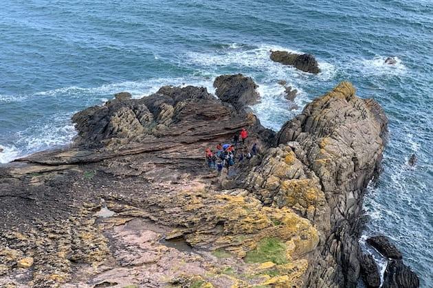
Oberlin students visit Siccar Point, Scotland, one of the most famous sites in the history of geology as part of the Danenberg Oberlin in London Program.

Nicollette Mitchell ’13, Kopo Oromeng ’17, Marcus Hill ’19 and Shannon Banks ’19 earned top prizes for their research presentations at the National Association of Black Geoscientists annual conference.

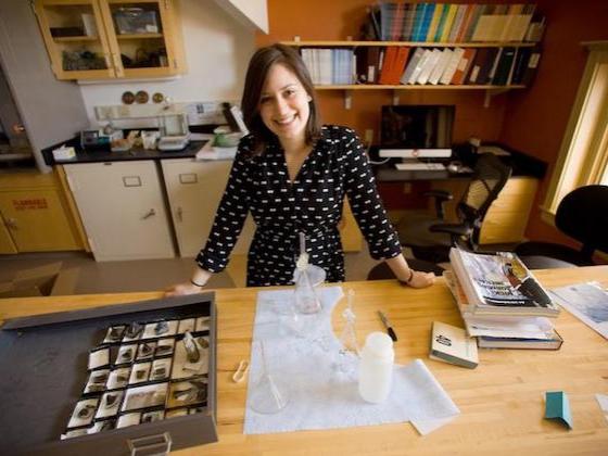
Emily Bermudez ’21 and Zoe Hecht ’21 start a geochemical analysis in the gamma-counter.

Justin Bank ’21 demonstrates ultra-violet fluorescent minerals as part of a Lab Crawl visit.
Renée Milligan ’22 shows off tiny marine fossils as part of Lab Crawl.